



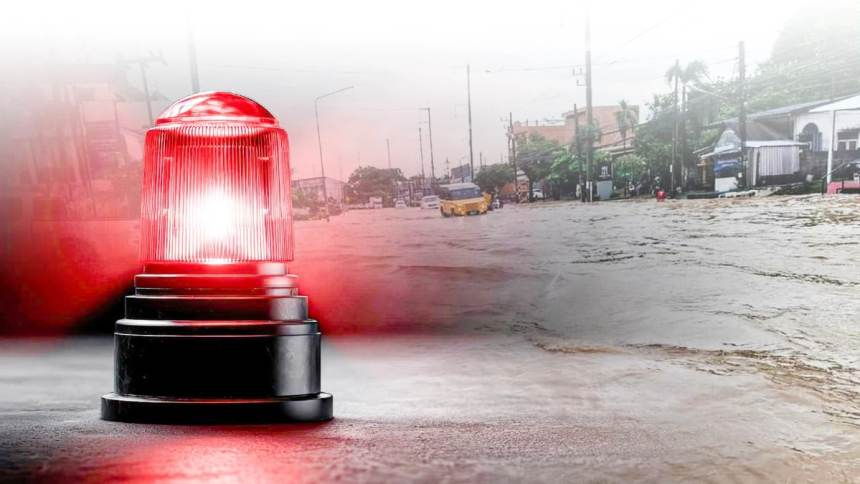
CHIANG RAI – Northern Thailand is bracing for severe weather this week as relentless heavy rain batters the entire region. Government officials have issued urgent flood warnings for multiple provinces, urging residents to prepare immediately. Chiang Rai and neighboring areas are currently on high alert following days of intense, non-stop downpours. People living near major rivers are watching water levels rise with growing concern.
The Thai Meteorological Department recently announced that an active monsoon trough is shifting across the country. This powerful weather system is bringing widespread, heavy rainfall to the North through mid-September. Authorities strongly warn that water levels in several key rivers are rising dangerously close to their breaking points. Residents are advised to follow official updates closely as the situation develops.
Key Takeaways
- Severe rain and flash flood warnings are actively in place across northern Thailand, especially in Chiang Rai.
- The Mae Sai River has reached critical levels, prompting urgent emergency mobile alerts for riverside communities.
- Heavy rainfall and thunderstorms are officially forecast to continue across the country for the next five days.
Chiang Rai Faces Immediate Flood Risks
In Chiang Rai, the situation is becoming increasingly critical for vulnerable communities located near the border. The fast-flowing Mae Sai River has swelled dramatically in recent days due to upstream runoff. Floodwaters recently reached the very underside of the busy Thai-Myanmar Friendship Bridge, according to the Meteorological Department. Consequently, residents in low-lying areas received emergency mobile alerts advising them to move their belongings higher.
Local disaster prevention officials are currently working around the clock to reinforce essential flood defenses. Temporary sandbag barriers have successfully protected vulnerable economic zones like the Sai Lom Joy Market. However, the continuous heavy rain means the threat of overflow and flash flooding remains incredibly high. Emergency teams are carefully inspecting these barriers for any signs of dangerous water seepage.
Meanwhile, other northern provinces like Chiang Mai, Phayao, and Nan are facing similar severe weather challenges. Massive rainwater runoff from the mountains poses a major risk for sudden mudslides and flash floods. Emergency responders are urging everyone to avoid travel on rural roads and easily flooded routes. Farmers have also been advised to secure their livestock and protect crops from waterlogging.
The Five-Day Weather Forecast
Looking ahead, the weather will remain incredibly wet and unpredictable for the next five days. From September 10 to September 14, expect continuous daily showers and isolated heavy thunderstorms across northern Thailand. Temperatures will likely range from comfortable morning lows of 22 degrees Celsius to afternoon highs of 34 degrees. The threat of sudden thunderstorms means you should carry an umbrella at all times.
As a high-pressure system from China slowly moves in, the heaviest rains will gradually shift southward. The lower North, Central plains, and Bangkok will start experiencing intense downpours by the weekend. However, the upper northern provinces will still see steady daily showers that could easily worsen existing water accumulation. Rivers and streams in these areas will remain swollen and highly dangerous.
Residents must stay vigilant and keep a very close eye on local weather and emergency updates. It is absolutely vital to prepare emergency survival kits and have a clear evacuation plan ready. The next few days will truly test the region’s existing flood defenses and disaster readiness. By staying informed and acting early, local communities can stay safe during this severe monsoon event.
Trending News:
Falling Boulder Kills Pickup Truck Driver in Northern Thailand
Fatal Pickup Truck Collision in Chiang Rai One Dead and Four Injured


