


CHIANG RAI– Thailand’s Ministry of Agriculture and Cooperatives will map agricultural contamination zones across Chiang Rai province to separate tainted riverside plots from clean farmland, officials announced this week. The zoning plan aims to halt blanket purchasing bans by wholesale buyers who have avoided northern produce amid rising fears of heavy-metal pollution.
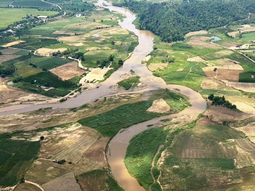
Under the plan, soil and crop specialists will classify fields fed by the Kok, Sai and Ruak river basins into safe, monitoring and high-risk categories using geographic information systems. Clear boundaries will allow food processors, exporters and domestic markets to verify safe harvests, restoring trade confidence while targeting remediation where toxic metals threaten the food chain.
Key Takeaways• Thailand’s Agriculture Ministry will classify Chiang Rai farmland into safe, monitoring and high-risk zones using lab data and geographic mapping. • Preliminary soil tests found arsenic exceeding national standards in roughly 20% of sampled plots across the Kok, Sai and Ruak river basins. • Precise zoning aims to protect clean farms from provincewide buyer boycotts while accelerating pre-harvest testing and grower compensation. |
Upstream Mining Drives Cross-Border River Pollution
The crisis traces directly across the northern border into Myanmar’s Shan State, where unregulated rare-earth and gold mining operations discharge untreated wastewater into transboundary waterways. Heavy seasonal floods in late 2024 carried toxic sediment downstream, depositing arsenic, lead and cadmium onto floodplains that northern Thai farmers rely on for dry-season irrigation.
By early 2025, waterworks engineers detected elevated heavy metals in raw river supplies, prompting public health advisories against eating local river fish. Preliminary testing by Thailand’s Department of Land Development revealed that about 20% of sampled farmland soil in the Kok, Sai and Ruak basins breached safety limits for arsenic. Another 50% registered levels between 14 and 25 milligrams per kilogram, requiring continuous surveillance.
Thai diplomatic efforts have struggled to curb the source. Mongabay reported that a bilateral river pollution agreement between Bangkok and Myanmar’s military authorities was weakened before signing, leaving Chiang Rai communities exposed as dirty sediment continues to wash south.
Granular Zoning Aims to Restore Market Trust
Without official parcel-level data, commercial rice mills and vegetable brokers have treated the entire province as suspect. Growers miles away from contaminated riverbanks report sharp price drops and canceled contracts simply because their crops carry a Chiang Rai origin label.
Agricultural researchers say precise mapping solves that bottleneck. Dr. Suebsakul Kitnugool of Mae Fah Luang University warned that laboratory turnaround times currently stretch up to two months, meaning harvests often reach markets before test results return. He urged authorities to pair geographic risk maps with mandatory pre-harvest testing at least seven days before cutting.
Under the ministry’s rollout, crops grown in verified safe zones will clear commercial supply chains without delay. Fields flagged in red high-risk zones will face harvest suspensions, backed by state compensation and alternative groundwater wells so growers can transition away from tainted river water.