
(CTN NEWS) – A SpaceX rocket lifted off ‘SWOT’ mission early on Friday with a U.S.-French satellite on board.
The mission, expected to provide fresh light on the causes and effects of climate change, is to undertake an unparalleled worldwide survey of Earth’s surface waters.
The Vandenberg U.S. Space Force Base is roughly 160 miles (260 km) northwest of Los Angeles.
The Falcon 9 booster, owned and operated by Elon Musk’s commercial rocket business, lit up the early-morning sky along California’s coast as it raced off its launch pad.
Falcon 9 launches the Surface Water and Ocean Topography (SWOT) mission to orbit; first stage booster returns to Earth pic.twitter.com/VOoFXucRrT
— SpaceX (@SpaceX) December 16, 2022
Within nine minutes, the satellite-carrying upper stage of the Falcon 9 had entered orbit.
Earlier, the rocket’s reusable lower stage had disengaged from it and flown back to Earth, causing sonic booms as it did so before descending to a peaceful landing at the base.
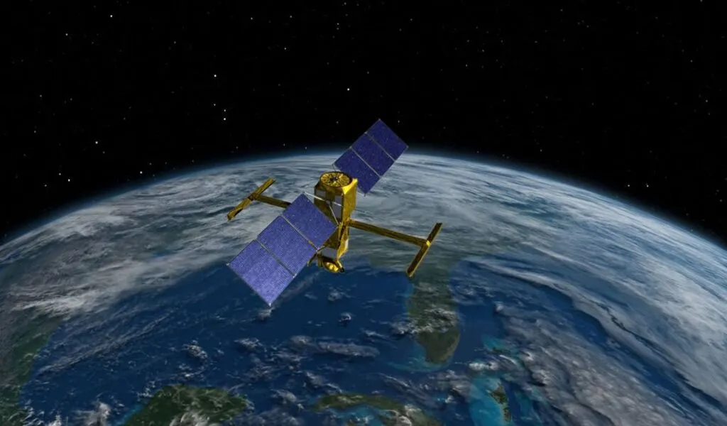
Less than an hour after launch, the Surface Water and Ocean Topography satellite, or SWOT, was released into its own beginning orbit, located roughly 530 miles (850 km) above the planet.
SWOT was captured floating away in video from a camera mounted on the rocket’s upper stage.
A half-hour later, SWOT’s systems were confirmed to be functional when CNES mission control in Toulouse, France, reported that it had recovered the satellite’s first complete set of signals.
The Surface Water and Ocean Topography (SWOT) satellite has separated from its @SpaceX Falcon 9 rocket. SWOT begins #TrackingWorldWater now and will cover the Earth's surface worldwide at least twice every 21 days for at least three years. pic.twitter.com/OJfAifkl8R
— NASA (@NASA) December 16, 2022
The satellite’s main instrument is a sophisticated microwave radar system that can survey oceans, lakes, reservoirs, and rivers in high-definition over 90% of the planet.
According to experts, the information gathered via radar sweeps at least twice every 21 days will be used to improve ocean circulation models.
Support weather and climate predictions and help manage freshwater supplies in drought-stricken areas.
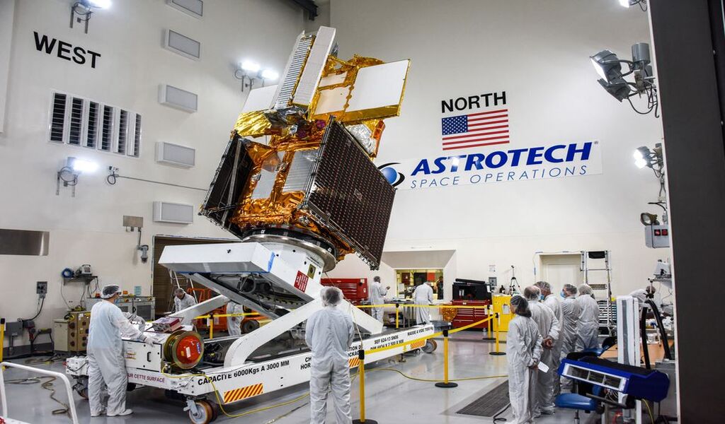
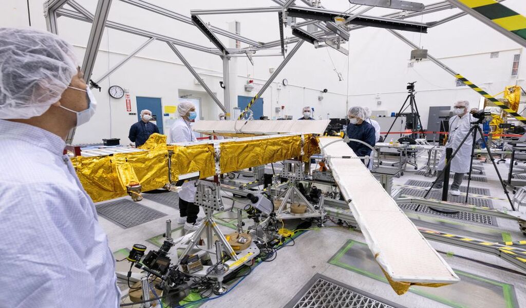
The SUV-sized satellite’s main builders were CNES and NASA’s Jet Propulsion Laboratory (JPL) in the Los Angeles area.
SWOT was one of 15 missions that the National Research Council suggested NASA put out in the next 10 years. Its development spanned nearly 20 years and included assistance from colleagues in Canada and the United Kingdom.
CLIMATICAL TIP POINT?
Exploring how oceans absorb atmospheric heat and carbon dioxide, a mechanism that naturally regulates global temperatures and has assisted in reducing climate change is one of the mission’s main goals.
Scientists estimate that oceans have absorbed more than 90% of the extra heat that human-caused greenhouse gas emissions have trapped in Earth’s atmosphere.
When SWOT scans the oceans from orbit, it can detect minute variations in surface elevations around the smaller currents and eddies, which are thought to be the primary sites of the oceans’ carbon and heat uptake.
Deployment of SWOT confirmed pic.twitter.com/6OaxYEpezf
— SpaceX (@SpaceX) December 16, 2022
Understanding that mechanism will assist in determining the critical question of when seas begin to release vast amounts of heat back into the atmosphere rather than absorb it, hence accelerating global warming rather than limiting it.
SWOT will aid in studying the effects of rising water levels on coastal areas since it can detect considerably smaller surface features across far greater areas than prior satellites.
With the ability to monitor practically all rivers broader than 330 feet (100 meters), as well as more than 1 million lakes.
And reservoirs bigger than a few New York City blocks, freshwater bodies are another important area of SWOT’s concentration.
Researchers can better track changes in the planet’s rivers and lakes during seasonal changes and significant weather events if many inventories of Earth’s water resources are made during SWOT’s three-year mission.
The radar used by SWOT operates in the microwave spectrum’s Ka-band frequency, which enables its scans to pass through cloud cover and nighttime to map observations in two dimensions.
In earlier studies of water bodies, data was collected at specific locations or from satellites that could only track measurements along a one-dimensional line.
Within months, the satellite is anticipated to start generating research data.
RELATED CTN NEWS:
Elon Musk’s Suspension Of Journalists Exacerbates Global Conflict


