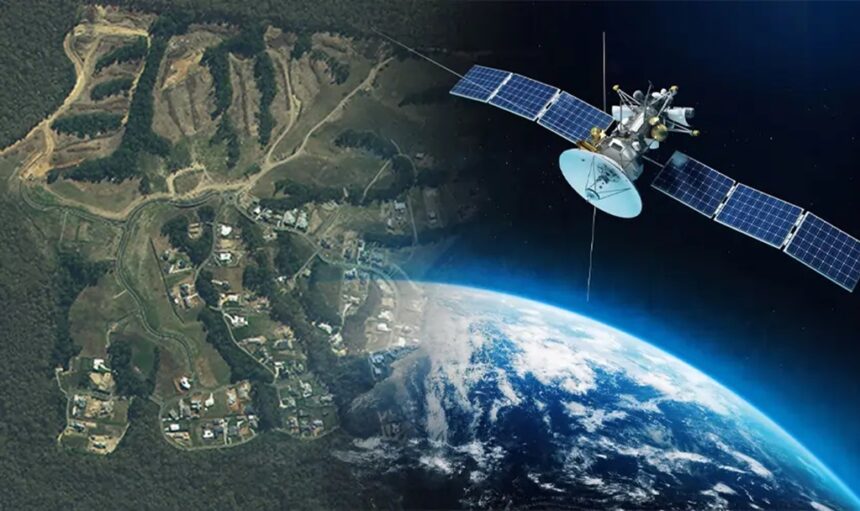
Monitoring urban areas via satellite platforms is very important, as it helps us determine if the terrain can be used for building something in the future and more. Find out how satellite platforms register atmospheric and geological data.
How Are Satellite Platforms Analyzing and Monitoring Urban Areas?
When discussing the benefits of satellite platforms for monitoring urban areas, technological requirements and the problems associated with them should be taken into consideration first. Today’s satellite platforms are all about contextual and interpretation dimensions.
Also, the covered surfaces of heterogeneity and temporal atmospheric differences no longer get noticed when registering different scenes. Urban areas’ problems should be analyzed together with the reference surfaces that should undergo atmospheric corrections.
Using targeted control points when it comes to temporal change monitoring is to be considered, too. Specific advantages that involve data from high-resolution satellites will be discussed here so that you can better understand what satellite platforms for monitoring urban areas are all about.
What’s a Satellite Platform?
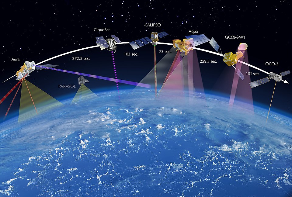
A satellite platform, aka satellite bus, hosts all the electronic equipment and payloads necessary for the satellites to do their job.
Synoptic images at improved and varied temporal or spatial resolution come from satellite technology with sensors and are used for the purpose of land-use and urban growth classification studies.
The data coming from satellite platforms is useful for studying time-variant processes that involve urban monitoring and expansion.
To understand how satellite platforms help with urban area monitoring, let’s take the continuous growth of migration in Saudi Arabia.
People are moving from the countryside so that they can have improved prospects, and the process of industrialization increases.
This means that the business and commerce sectors will improve, not to mention that the service sector will evolve a lot, too. The best idea is to use satellite platforms for monitoring the urban scenarios timely manner and by using Satellite Sensing Technology.
In this manner, the changing patterns will be systematically studied, and future development will be planned accordingly by employing satellite platforms and other technologies.

Why Are Satellites Useful?
Urban monitoring utilizes multi-data high-resolution images obtained through digital and visual processing from satellite platforms.
The results of satellite platform studies provide the most timely and valuable qualitative and quantitative inputs to managers who are concerned with development and planning. There’s also a need to collaborate with metropolitan development agencies in Saudi Arabia to address the most common urban problems.
When spatiotemporal changes from large urban agglomerations are monitored, it becomes more important to study the proportion and number of urban residents, and both these continue to go higher.
For as long as the urban landcover’s synoptic view provided by airborne sensors and satellite platforms remains in situ in the environmental, socioeconomic, and physical settings, the urban plans will continuously change.
Most operational satellite platforms have limited spatial resolution, and how sensed imagery has helped with remotely studying the urban infrastructure.
Resolution is enough for measuring important environmental parameters that are logistically prohibitive or difficult to obtain data from these platforms. Besides, it is very expensive to measure things directly from a platform.
Moreover, intra-urban variations in vegetation influence the environmental conditions and fluxes between mass and energy.
Quality of life in urban areas is selective when it comes to reflecting solar radiation and the absorption of evapotranspiration’s modulation.
Operational satellites like Landsat provide the ability to monitor solar radiation absorption and selective reflection.
Spatiotemporal dynamics in urban vegetation and monitoring the spatiotemporal dynamics of thermal emission are simultaneous when it comes to interannual and seasonal time scales, making it easier to understand their connections in the urban environment.
Spatiotemporal variations monitoring of urban vegetation is abundant and makes phenology easier to practice.
When measuring urban vegetation and comparing how the vegetation distributions are in Guangzhou and New York, the Landsat TM platform imagery sends the necessary information to scientists on Earth.
Analyzing spatiotemporal dynamics, urban areas and pollution are two intertwined factors that influence the urban areas’ quality of life.
Why Do We Need Satellite Platforms?
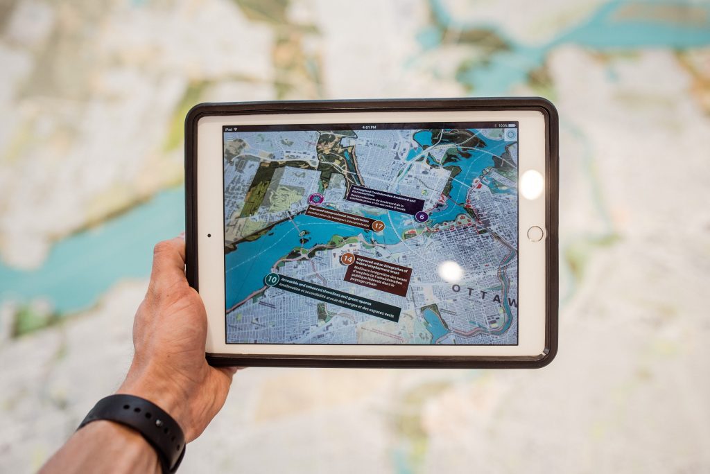
A satellite platform helps dock satellites and their equipment. Future research is in the planning to address the scientific issues that have been mentioned above. The avenue of intended future research is going to address the problems.
For example, the SPOT-1 pan imagery from 1987 has a 10m resolution and should have results fused with imagery from 1986. This way, higher classification can become comparable to what scientists plan to improve urban areas.
When the light-textured soil areas are deteriorating, weather practices turn in favour of slaking. Back in 1979, the polder soil slaked and got reclaimed, but the moisture content of the soil, as well as penetration resistance, increased.
And changes in soil are causing surfaces to shrink, whereas the radiant temperature gets to be ±2degree °C.
Spacecraft platforms and analyzing imagery have been excessively helpful in obtaining this data. Today, more advanced satellite platforms contribute even more insight into urban environments.


