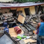


CHIANG RAI – Continuous rainfall in Chiang Rai has resulted in flooding in several neighbourhoods. Officials are working to assist affected residents and have urged those in high-risk zones to remain vigilant.
Water levels in the Sai River have risen close to the banks, seeping into homes and breaking through ten properties. Emergency crews are racing to seal off the breaches to prevent further damage.
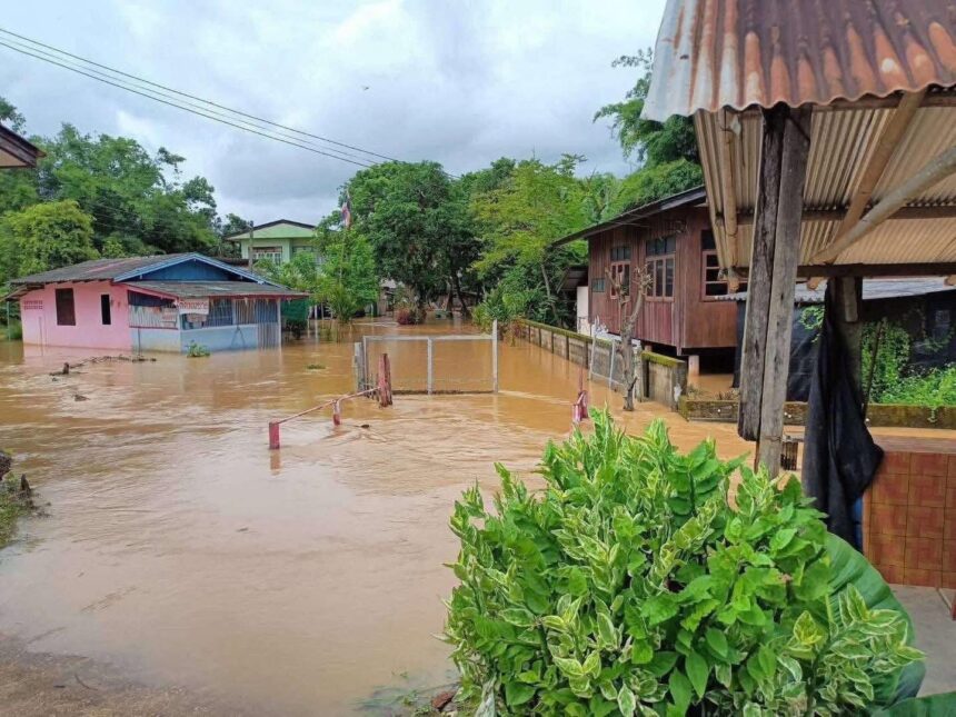
On August 16, local authorities reported steady rain across many areas of the province starting from the early morning. This has resulted in widespread surface flooding, especially in Mae Chan and Mae Sai districts.
Lighter but steady showers also affected Mae Suai, Mae Fa Luang, Wiang Pa Pao, Phaya Mengrai, Mueang Chiang Rai, Chiang Saen and Thoeng districts. Traffic support teams have moved in to help keep roads open and are warning residents in vulnerable areas to take precautions.
In Mae Chan, floodwaters entered homes near the Huai Wiang Wai area of Mae Chan subdistrict around 11:00 a.m. Houses close to the river faced flooding after the heavy morning downpour, and water reached residential areas as the morning progressed.
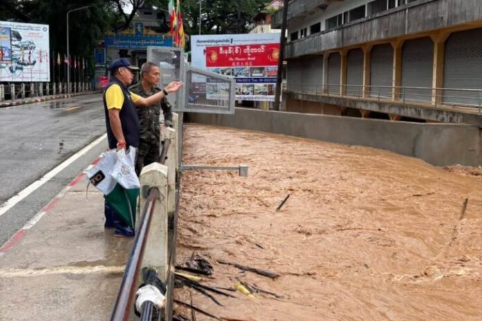
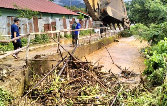
In Mae Sai, recent overnight rain caused the Sai River to swell. Water from upstream in Myanmar, about 30 kilometres from Mae Sai, caused the river to rise further. The water reached the top of the embankments in several spots and began to seep through cracks in some buildings. Military engineers and local officials worked together to plug these leaks as quickly as possible.
Floodwater from these leaks has affected communities near Bridge 1, including Koh Sai and Mai Lung Khon neighbourhoods. So far, the water levels in these areas remain manageable, but the local government continues to advise residents to monitor updates and be ready to move if water levels rise. Ten specific breach points were found, with four at the base of buildings and six where water seeped through walls.
High water also covered two key sections of Phahonyothin Road: the area between Ban Rong Pak Nam and Radio Station 914 to Ban Pong Or in Mae Chan subdistrict, and the junction near Doi Tung in Ban Mae Rai (village numbers 7 and 9, Mae Rai subdistrict). Water levels here have since gone down, and traffic has returned to normal.
In Pong Ngam’s Moo 8 village, local administration and Mae Sai police helped direct traffic and clear water plants that were blocking drainage. The flood level has dropped close to normal. Meanwhile, river monitoring at the First Thai-Myanmar Friendship Bridge showed the water at 397.62 centimetres, just above the banks. Teams are watching the situation and updating the public throughout the day.
The Chiang Rai Disaster Prevention and Mitigation Office has ordered all departments to stay ready with tools, machinery and personnel in case residents need urgent help at any hour. Efforts to keep the public informed and safe will continue as the situation develops.
Related News:
Sediment Barriers to Tackle Contamination in Chiang Rai’s Rivers Proposed to Cabinet