Weather
Hurricane Lan’s Track Shifts South To Sarasota, But Impacts Are Felt Across All Of Florida

(CTN News) – In the latest forecast, Hurricane Lan is expected to make landfall in Sarasota County, Florida. This is further south than previously predicted, but it still poses a threat of statewide devastation and severe storm surges, authorities said Tuesday.
In the early hours of Tuesday, Hurricane Lan made landfall over Cuba as a Category 3 monster, with winds exceeding 125 mph. Currently approaching Florida, Ian’s shift eastward has put Venice in its path sometime Wednesday.
despite the fact that it is still expected to cause high winds and storm surges farther north into the previously targeted Tampa Bay region sometime Wednesday, according to Kevin Guthrie, director of state emergency management.
Over 150 miles of Florida’s Gulf Coast were under Hurricane Lan warnings, forcing hundreds of thousands of Floridians to evacuate. Several power outages are expected statewide, Florida Power & Light said.
It’s also possible to see two feet of rain in isolated areas of Central Florida with howling winds, the hurricane center said. There is a possibility of a “historic” storm surge and flooding in Florida, according to Governor Ron DeSantis.
There will be catastrophic flooding and life-threatening storm surge in some areas, DeSantis said Tuesday. The hurricane is kicking up a lot of surge because of its size. The Gulf is liable to be very angry as it moves in.”
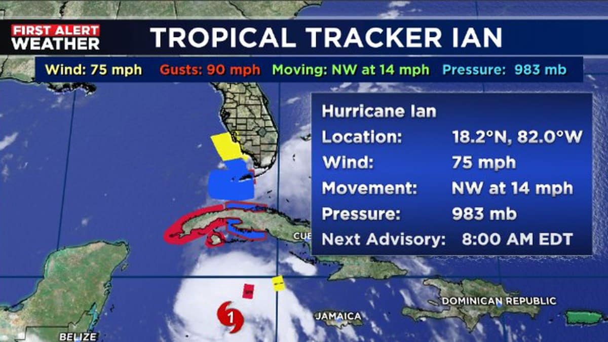
Hurricane Lan tracker
Over the Gulf, Hurricane Ian is expected to slow down, grow wider and stronger, “potentially causing significant wind and storm surge impacts along the west coast of Florida,” according to the hurricane center.
A forecast predicted Ian’s appearance in the southeastern Gulf of Mexico on Tuesday and his approach to the west coast of Florida on Wednesday and Wednesday night. According to a National Hurricane Center advisory, the storm will slow during this time.
There is a possibility that the storm surge, wind and rainfall impacts along the west coast of Florida will be prolonged,” the advisory states.
People Also Read:


